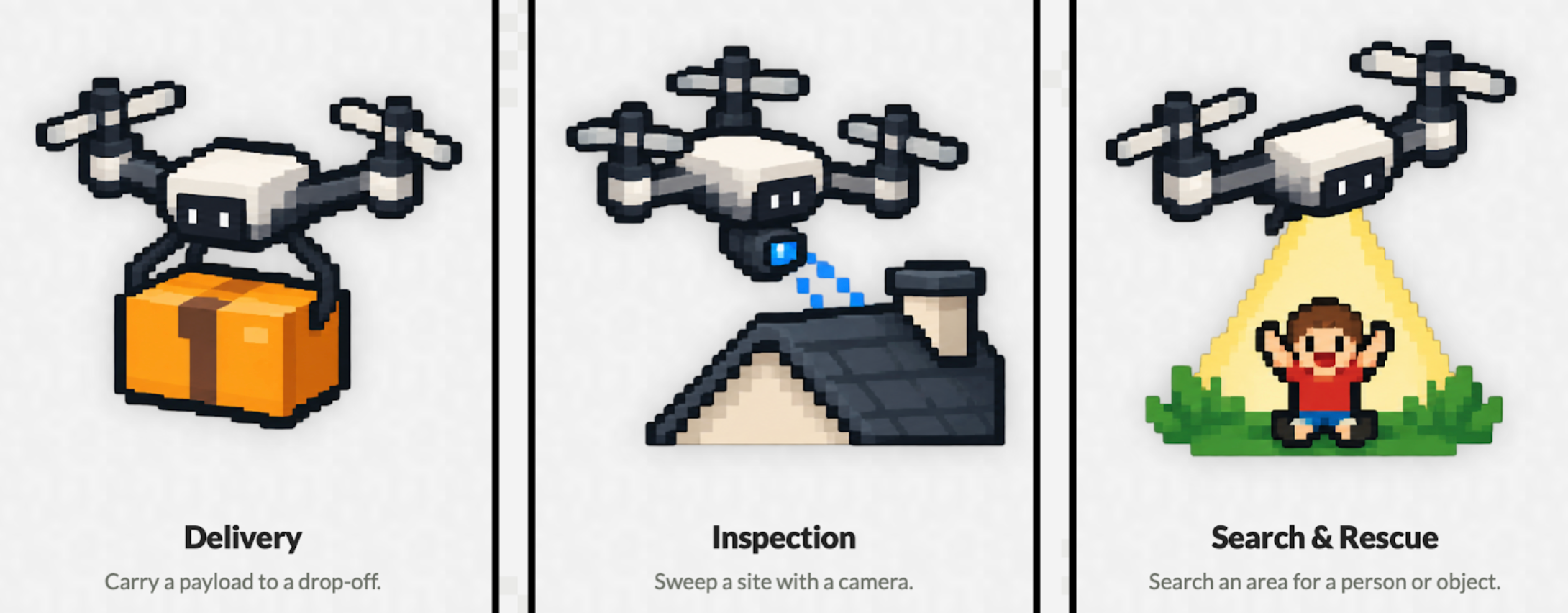
iris the infrastructure layer and market maker for drone missions. Users request a task such as delivery, site inspection, or search & rescue. They are then matched to pilots with drones up to the task.
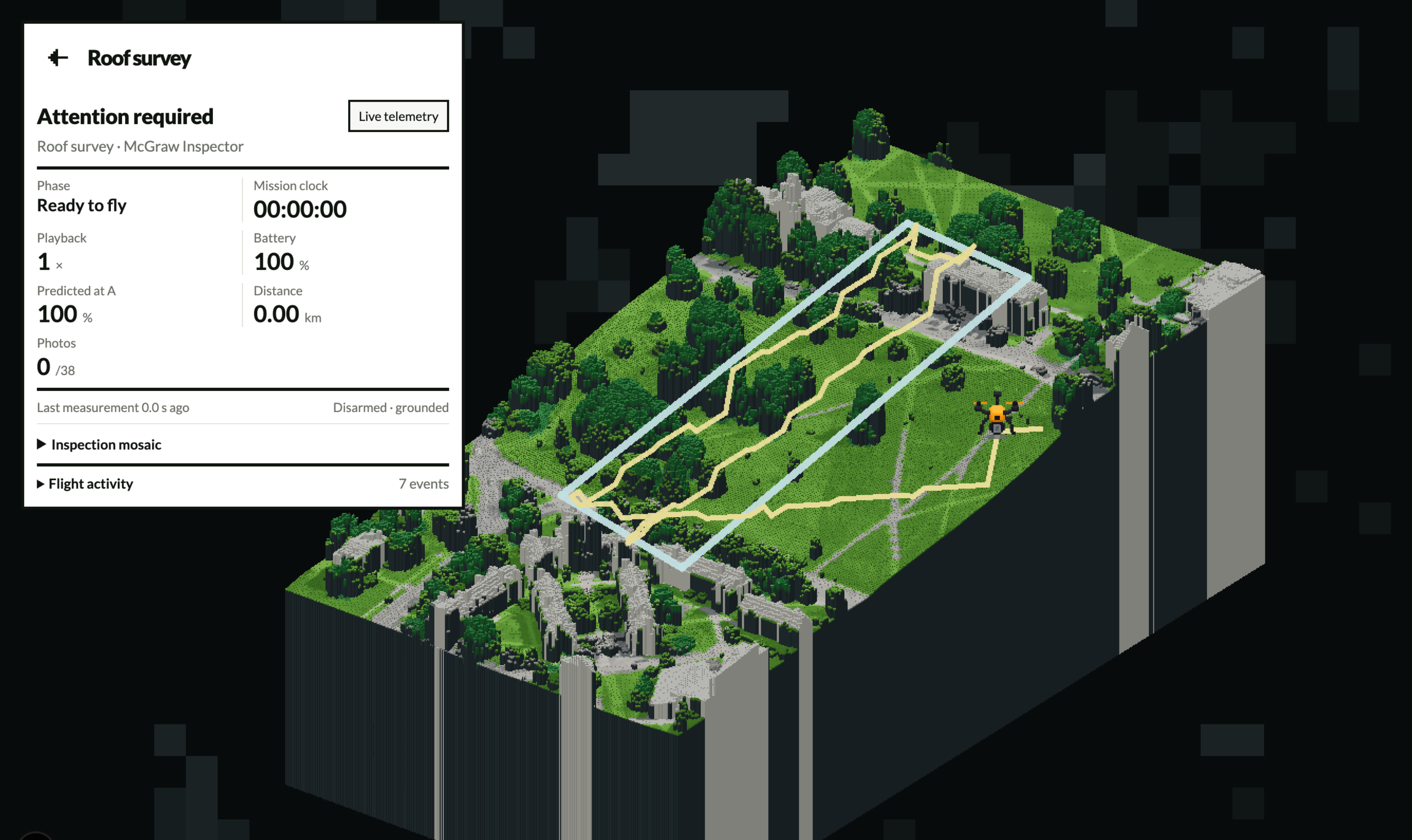
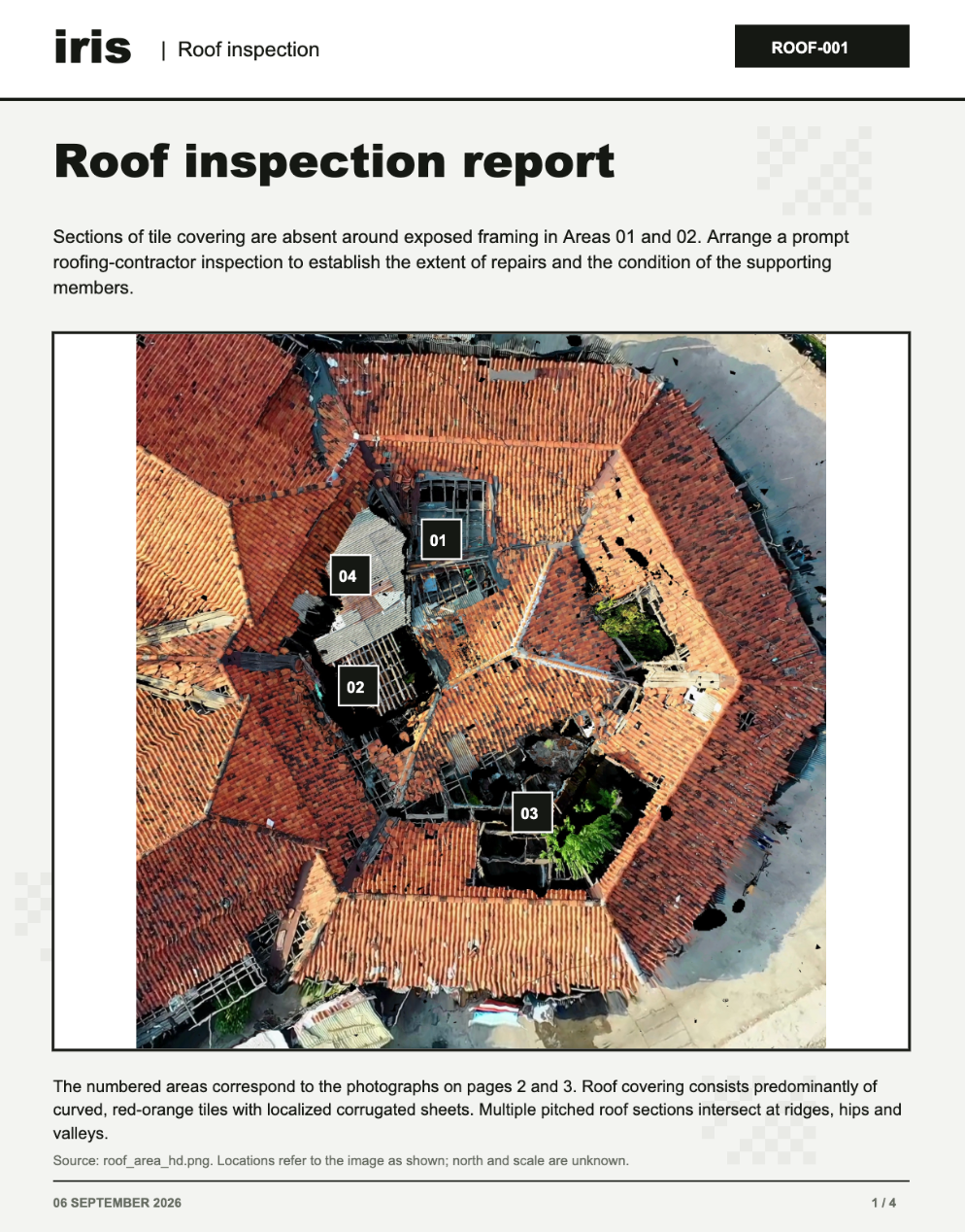
Pilots are given a flight plan based on LiDAR elevation maps & satellite Digital Surface Models (DSMs) to execute the plan. iris also provides a built-in "structure from motion" tool that helps generate comprehensive reports from site inspections.