The Problem
During a flood, conditions can change faster than first responders can assess them. Roads become impassable, people become isolated, and monitoring equipment can stop reporting. Information scattered across maps, radio calls, and field observations makes it difficult to decide where to search and how to approach safely.
Our Solution
Our platform combines flood prediction, contextual information, and an interactive map to help responders make decisions with incomplete information.
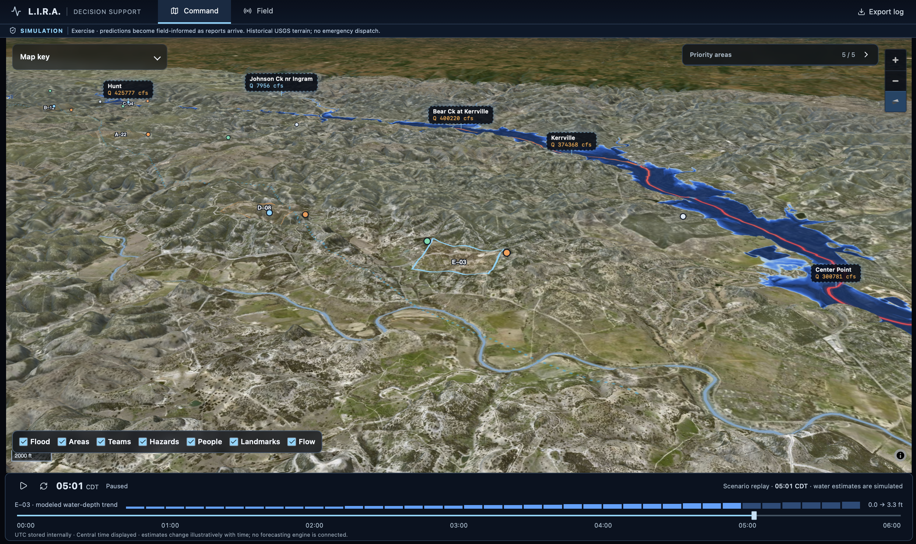
- Physics engine: Uses terrain and water-flow modeling to estimate how flooding could spread, highlighting changing water conditions and potential access hazards.
- Retrieval-augmented generation (RAG): Retrieves relevant information from historical records and available response documents to support explanations grounded in sources.
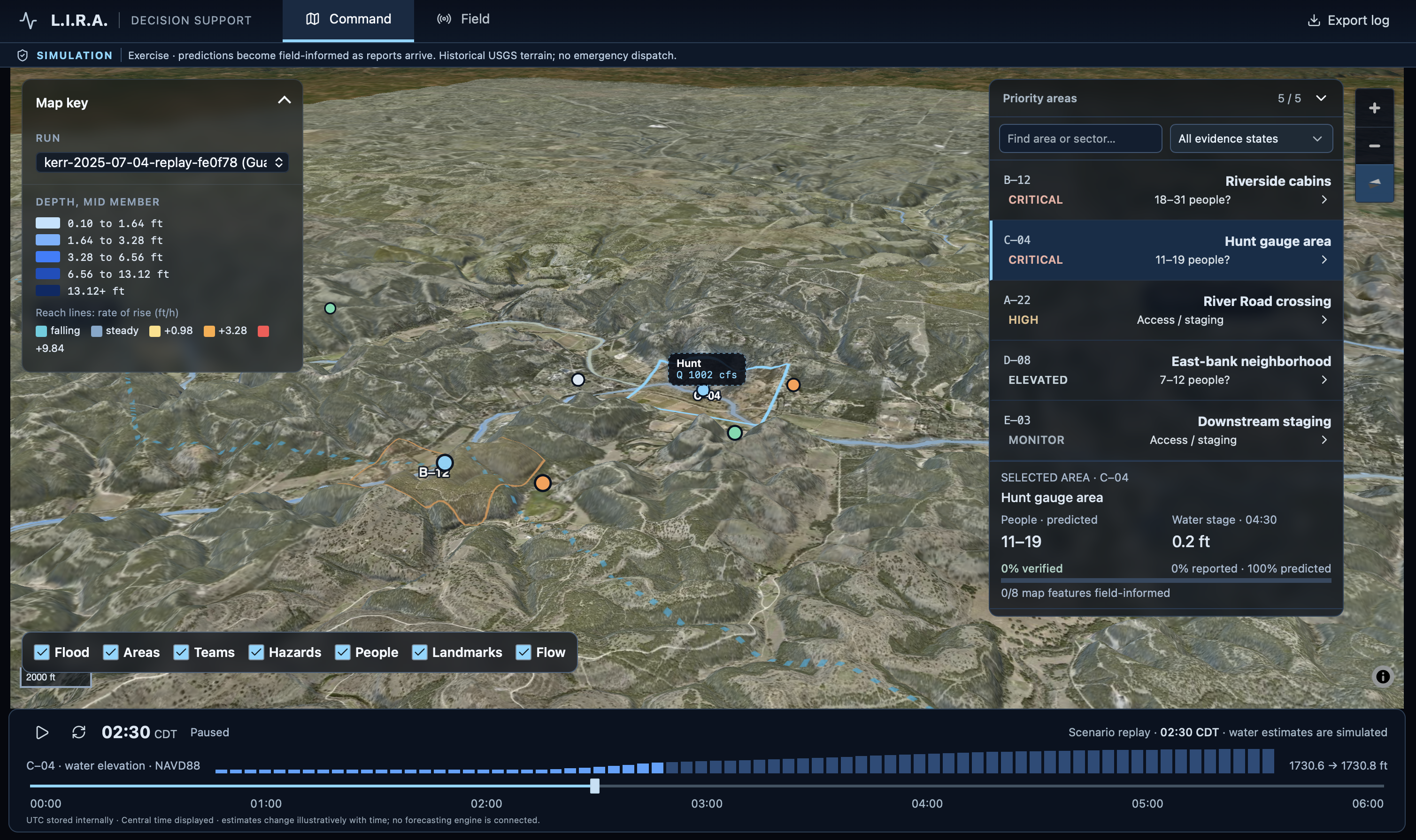
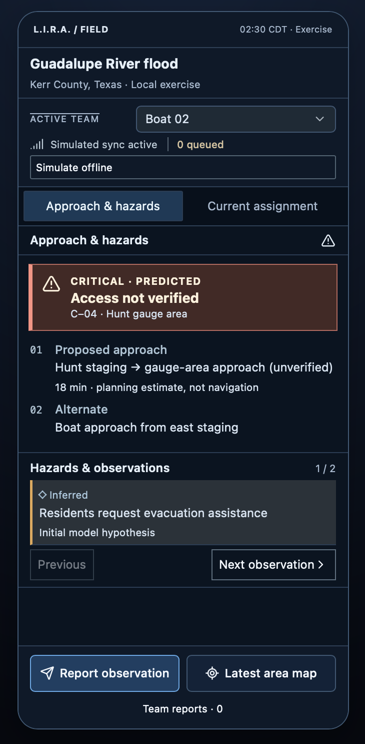
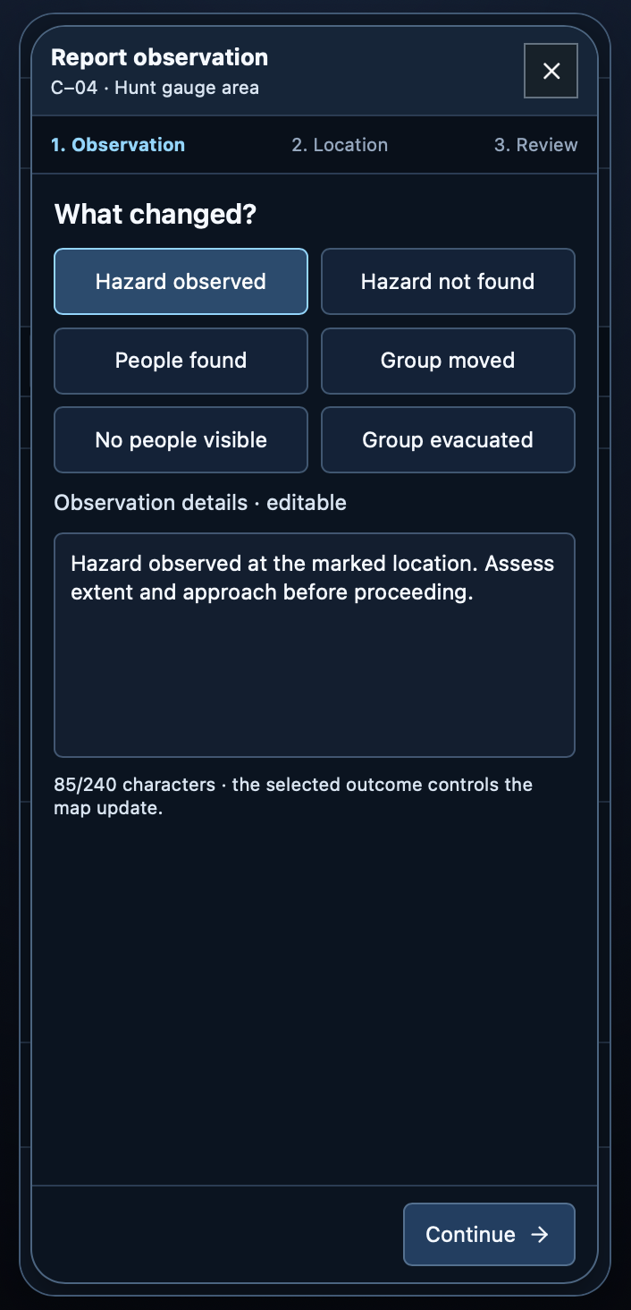
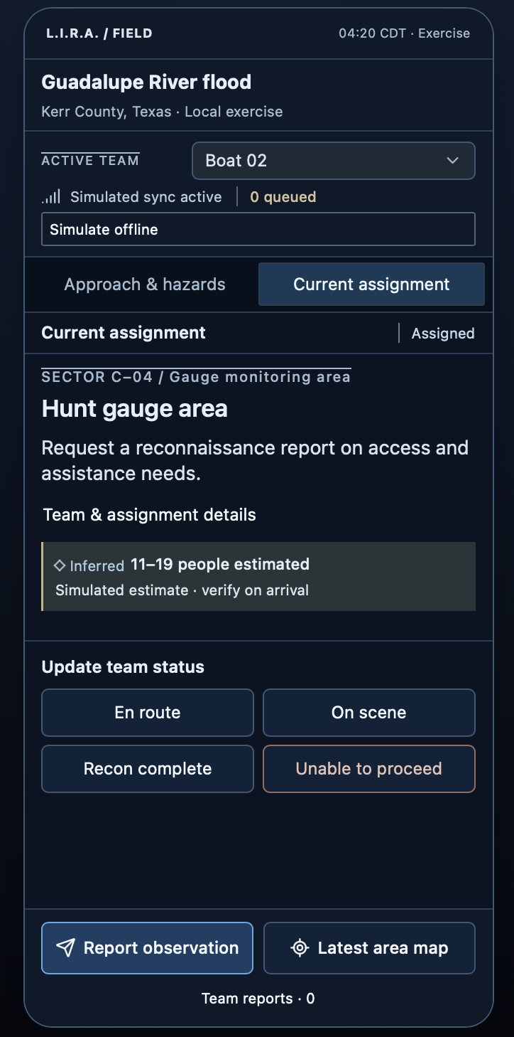
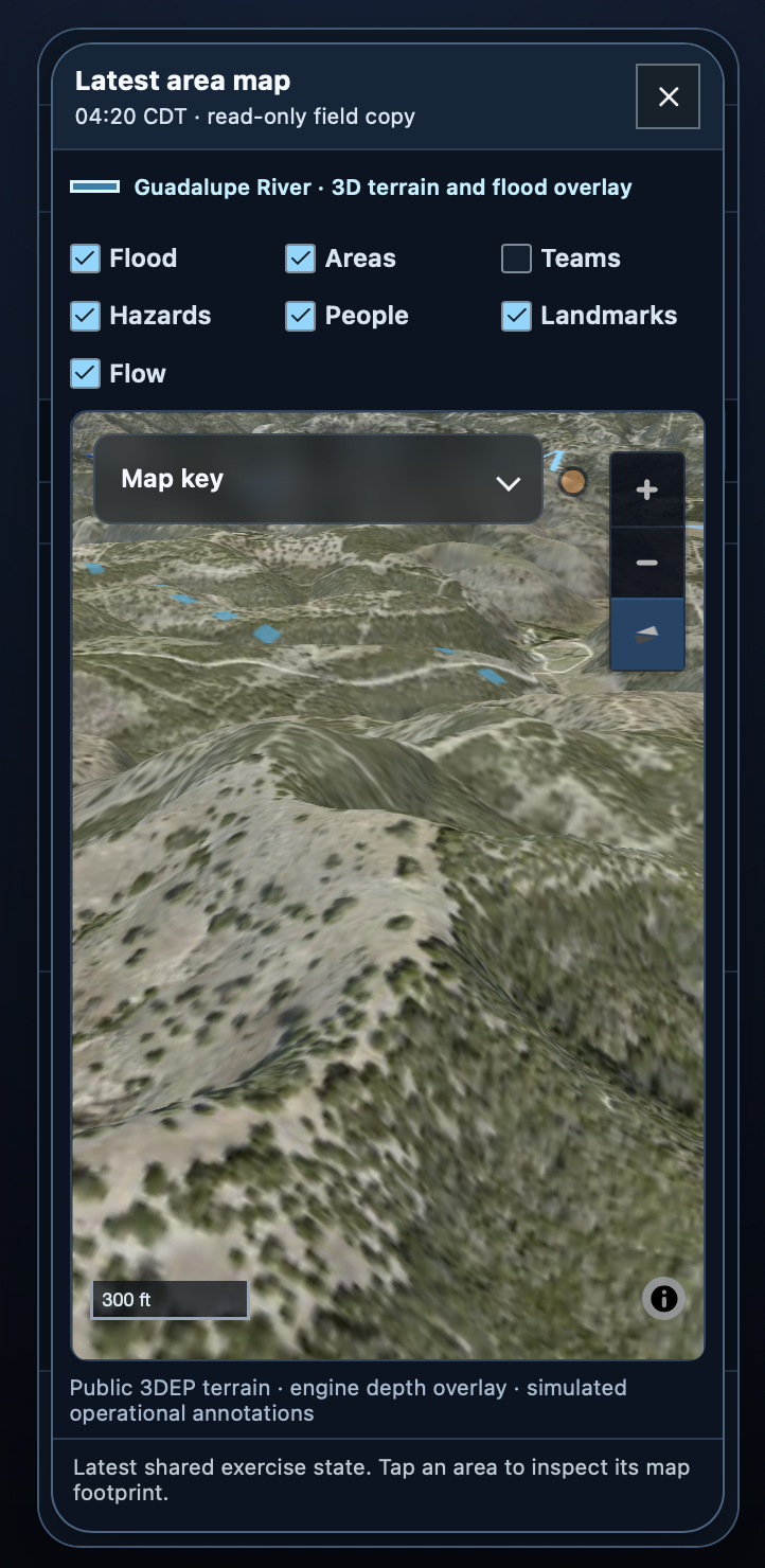
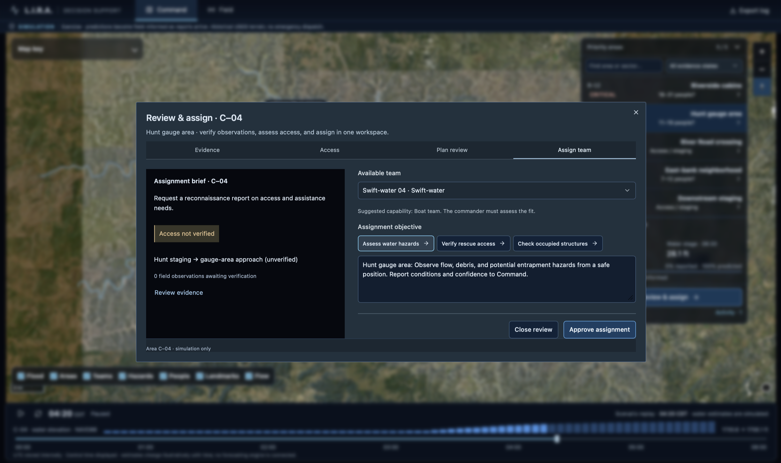
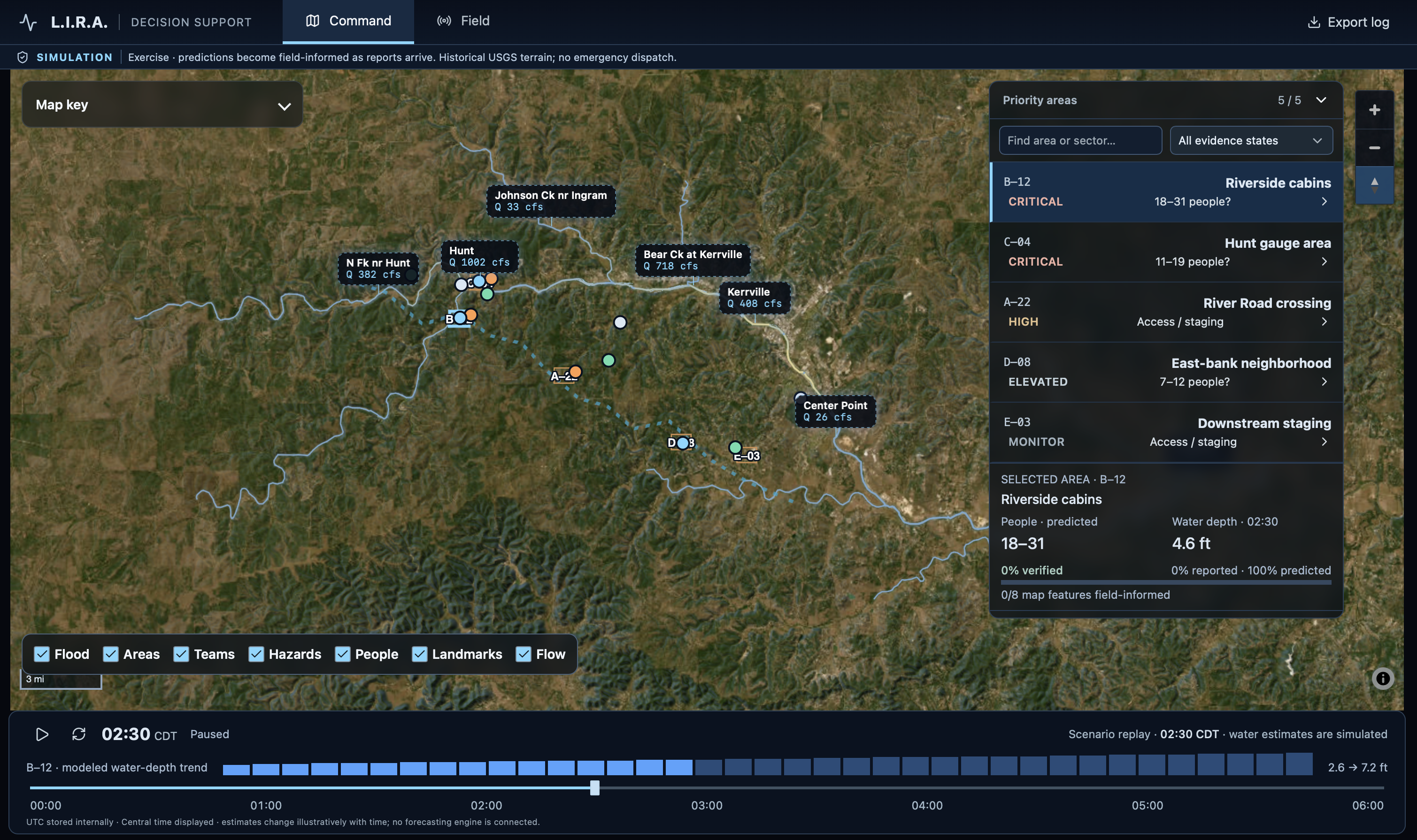
- Interactive map interface: Brings predicted flood conditions, likely shelter areas, hazards, and team assignments into one view. Command teams review priorities and coordinate resources, while field responders submit observations that refine the shared map. Predictions remain distinguishable from reported and verified information, helping responders understand both the available evidence and its uncertainty.
Social Impact
Our goal is to reduce the time between recognizing danger and taking informed action. By helping teams prioritize searches, identify potential hazards, and share observations, the platform aims to support faster rescue coordination and reduce avoidable exposure to danger. Population and vulnerability data can also help draw attention to communities that may need additional assistance. As the system develops and undergoes further validation, we hope to extend these capabilities beyond floods to other natural disasters.